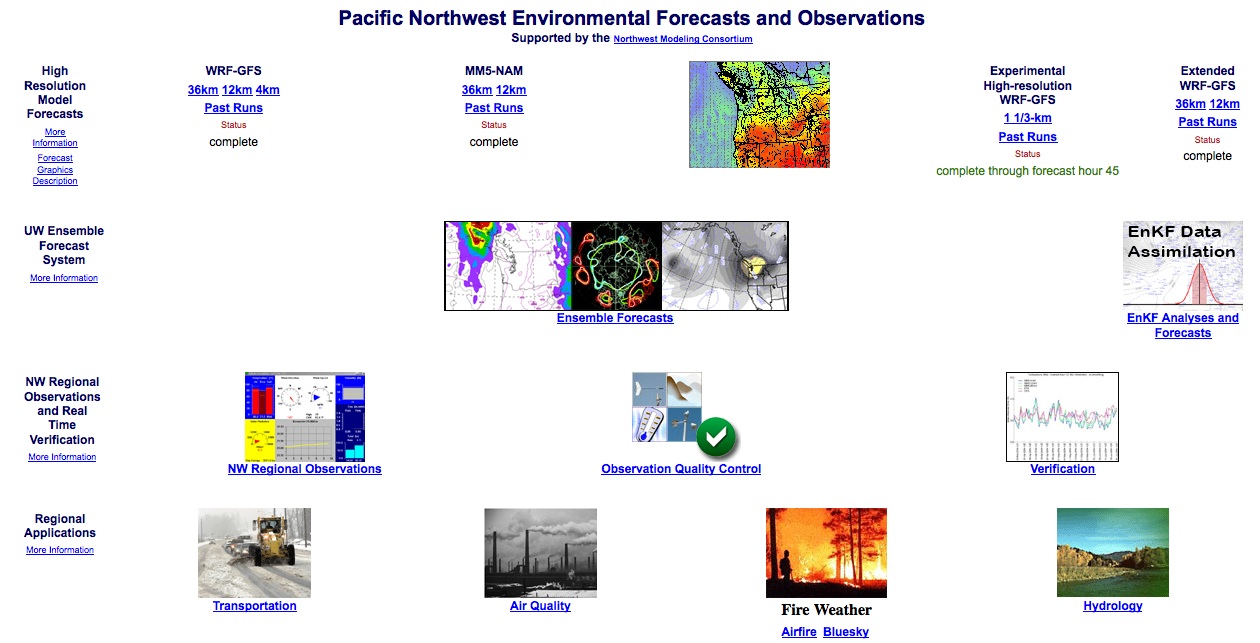
 NWd
NWd
A paper
describing the Northwest Modeling Consortium
and the
NW Environmental Prediction System
Introduction
NWd
A paper
describing the Northwest Modeling Consortium
and the
NW Environmental Prediction System
Introduction
Operational high-resolution
environmental prediction over the Pacific Northwest has been sponsored
by a consortium of local, state, and Federal agencies. Each
agency
recognizes its need for detailed weather information or forecasts and
that by
combining
resources and talent we could accomplish what was impossible to do
alone.
The activities of the consortium include:
History
The Northwest Consortium began in the
early 1990's when a group of agencies recognized the lack of upper air
data over the Puget Sound basin. By pooling funds, five agencies
were able
to purchase a Radian 915 Mhz profiler in 1992. By the mid 1990's,
research at the University of Washington and elsewhere suggested that
high
resolution mesoscale weather prediction models could be run on
workstations,
and that the results for Northwest weather features were quite
promising.
In 1994 the Consortium provided funds to the University of Washington
for
an evaluation of the MM5 over the Pacific Northwest and the purchase of
a powerful single processor workstation. With promising results,
this activity led to the beginning of operational MM5 forecasts (single
27-km domain) in 1995. In 1996 the Consortium purchased a SUN
4000
with 14 processors. With greatly increased computer power,
during late 1996 a new model configuration was established: 36 km
grid spacing over the eastern Pacific and 12-km over the
Northwest.
A year later, upgrades to the processors allowed the enlargement of the
36 and 12 km domains, and the additional of a 4-km domain over the
western
half of Washington State. In 1999 and 1999 substantial
improvements
were made to the modeling system and work on forcing a distributed
hydrological
prediction system with the MM5 were began. In the latter
year
a 4-processor Alphaserver was acquired, allowing the 4-km domain to be
expanded to the entire State of Washington. During mid-2000, a
SUN
6500 server with 23 processors was acquired and the 4-km domain was
expanded
to include both Oregon and Washington. The additional computer
resources
allowed the initiation of an regional ensemble forecasting system in
which
the MM5 was run several times using different large scale
initalizations/boundary
conditions and varying physics. Also in 2000, a real-time effort
to run the CALGRID air quality model forced by the MM5 was
begun. In addition, smoke,ventilation, and fire products
driven
by local data assets and the MM5 have been added. During the past five
years, signficant improvements in the output graphics,
model
physics, and web site have been made, and the ensemble system has been
expanded. A key infrastructure change was the shift from the SUN
system to commodity servers using AMD and Intel chips. A parallel WRF
system was initiated in 2006 and in
February 2008, the high resolution prediction system was moved to WRF,
including a substantial expansion of the 4-km domain and the extension
of 4-km domain to 72h. More recently, an Intel Nehalem cluster
with 8 nodes (dual quad core) and infiniband backplane was acquired and
a 4/3 km inner nest was added that goes to 48h. The UW consortium
system now has over 200 terabytes of RAID disk storage.
In addition to the modeling effort, considerable
emphasis has been placed on gathering all available Northwest
telemetered
networks to create a dense, real-time observational data base for use
in
forecasting, verification, and research.
Consortium Membership
Current members of the consortium include:
Contributing Members
Current Major Computer Assets
Consortium Meetings
The chair of the Northwest consortium is Robert Elleman
of the Environmental Prediction Agency Region 10 (Seattle office).
His contact information is: Elleman.Robert@epa.gov, 206-553-1531.
The Northwest Consortium meets quarterly at the NOAA facility
in Seattle. Typically, the air quality subcommittee meets in the
morning, with the full meeting during the afternoon.