| Aircraft in Operation | Time of Takeoff (UTC) | Time of Landing (UTC) |
| ARAT | 1254 UTC 5 NOV; 1343 UTC 6 NOV | 1549 UTC 5 NOV; 1701 UTC 6 NOV |
| Electra | 0725 UTC 6 NOV; 1407 UTC 6 NOV | 1026 UTC 6 NOV; 1854 UTC 6 NOV |
| Merlin | 1159 UTC 5 NOV; 1703 UTC 5 NOV; 1321 UTC 6 NOV | 1625 UTC 5 NOV; 1847 UTC 5 NOV; 1703 UTC 6 NOV |
| P3 | 0831 UTC 6 NOV; 1354 UTC 6 NOV | 1035 UTC 6 NOV; 1932 UTC 6 NOV |
| Color-Key to Aircraft Flight Tracks: | |
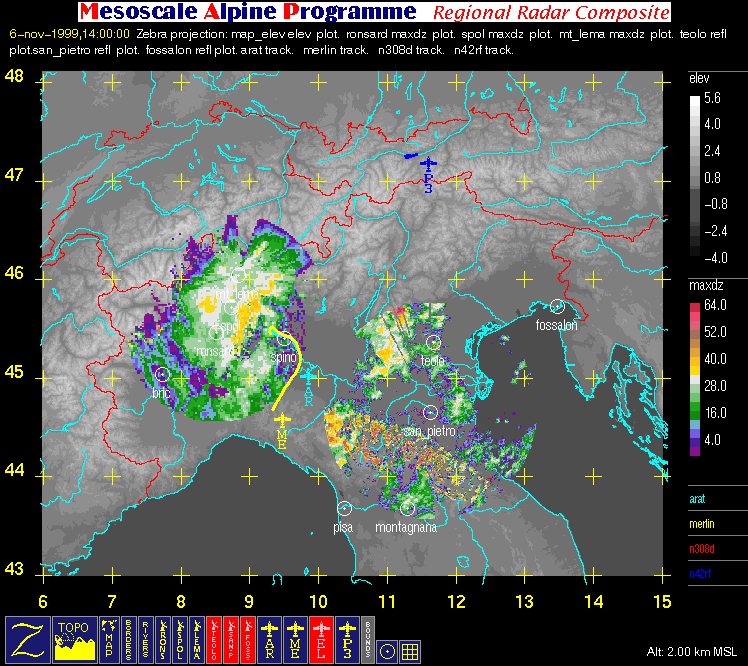
| Arat Flight Track | |
| Merlin Flight Track | |
| Electra Flight Track | |
| P3 Flight Track |
| Color-Key to Geographic Contours: | |
| Rivers (thin) | |
| Map Boundaries (thin) | |
| Political Boundaries (thin) |
| Color-Key to Other Graphical Overlays: | |
| Radar Range Rings (spacing = 20 km) | |
| Lat/Lon grid (+) | |
| Dual-Doppler Lobes (thin) and Horizontal Position of Vertical Cross-sections (thick) |
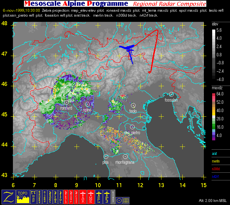
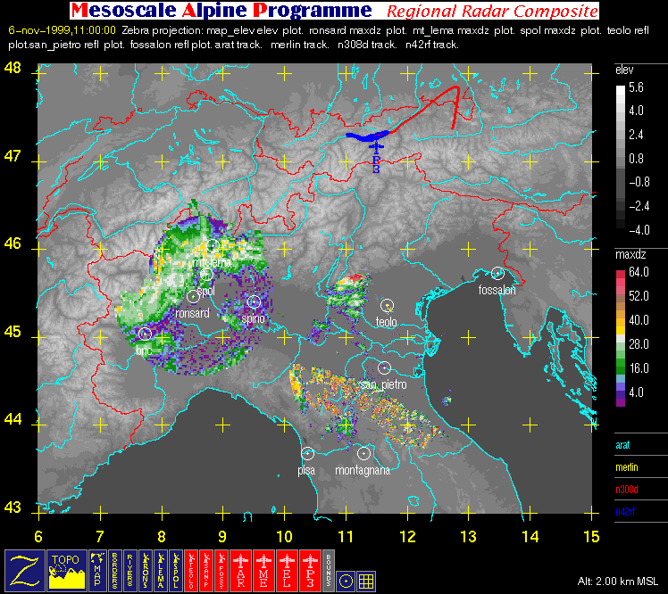
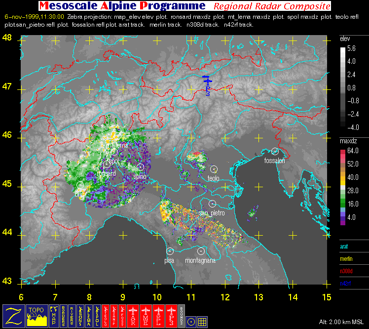
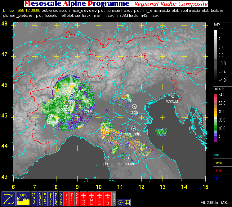
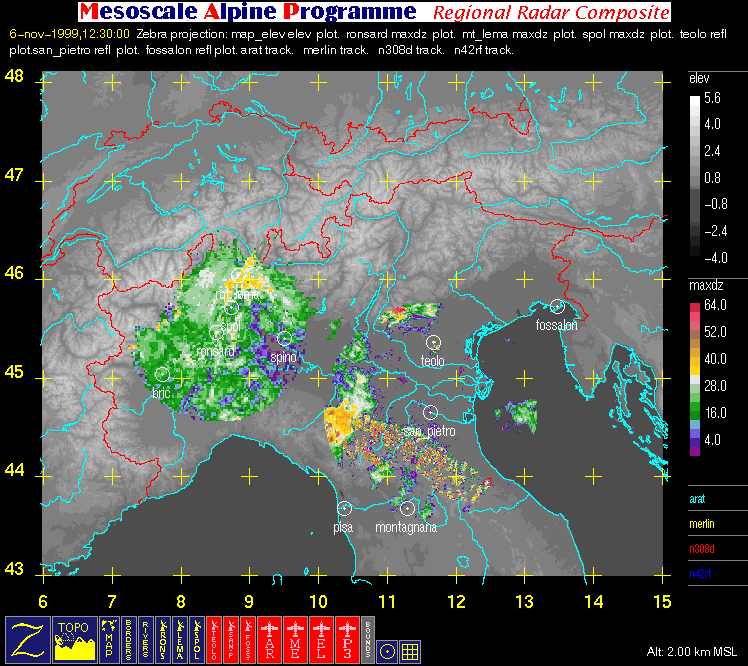
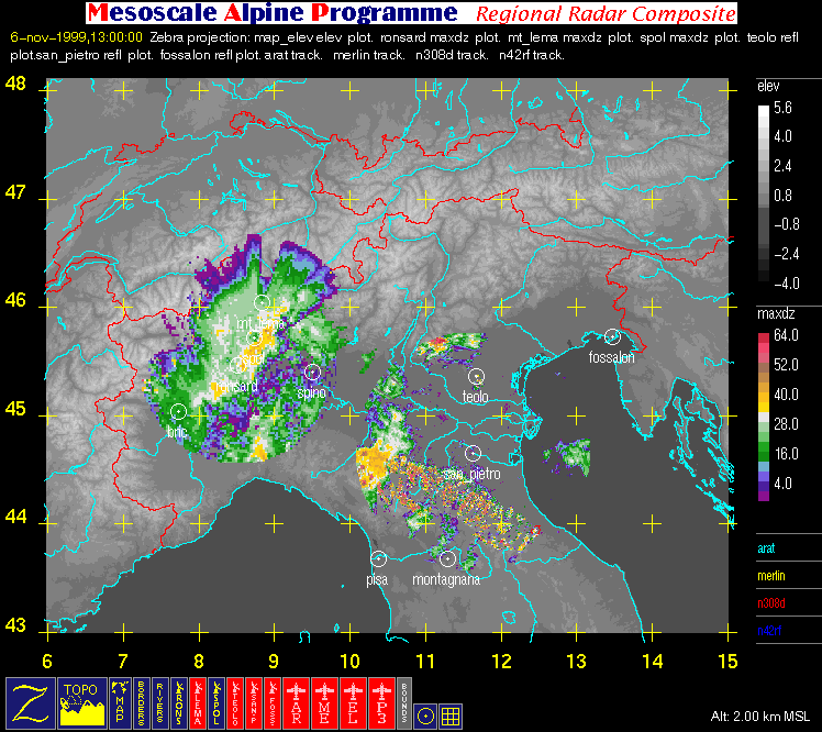
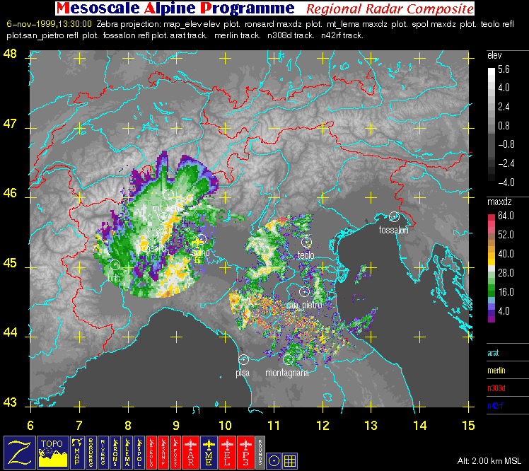
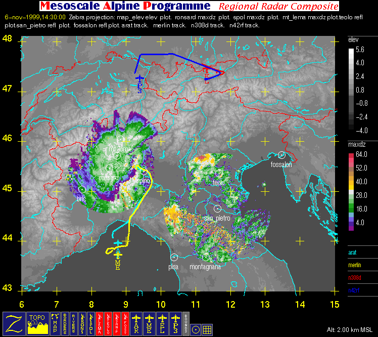
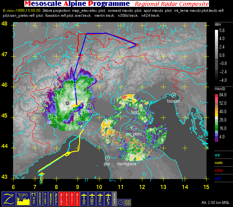
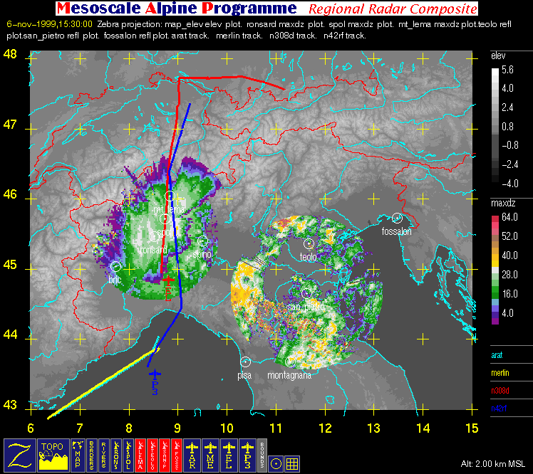
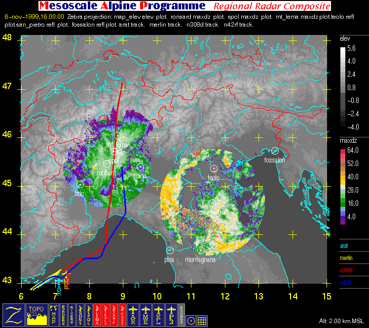
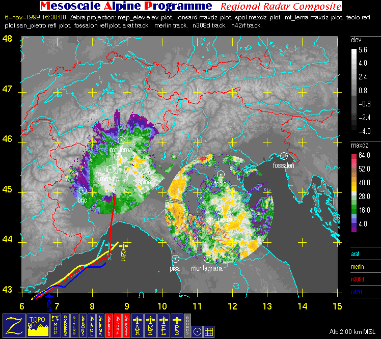
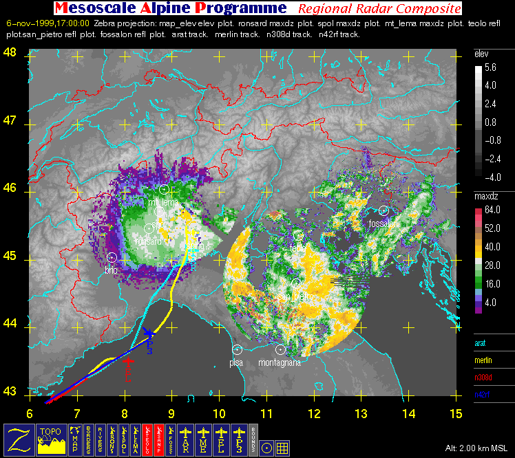
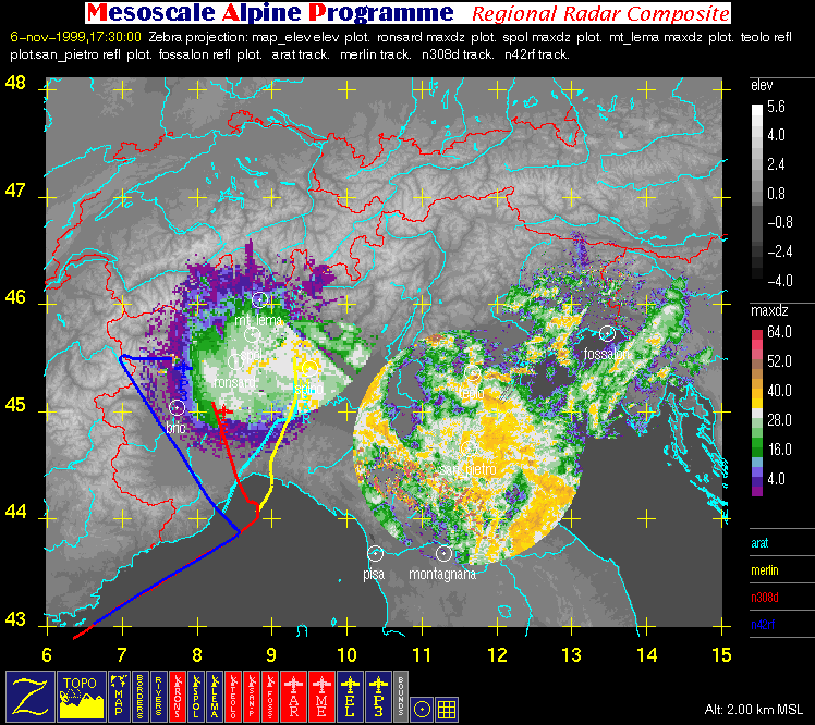
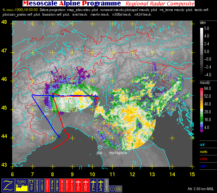
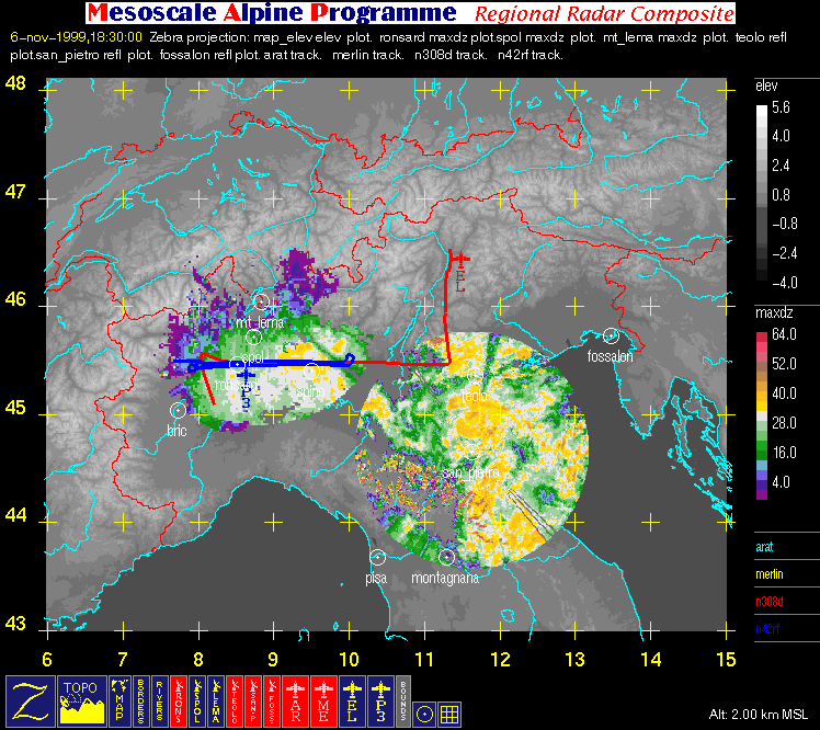
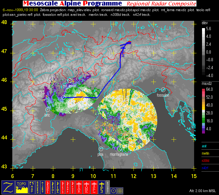
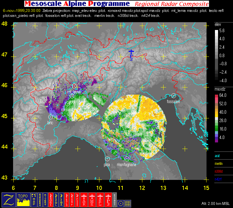
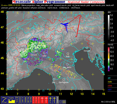
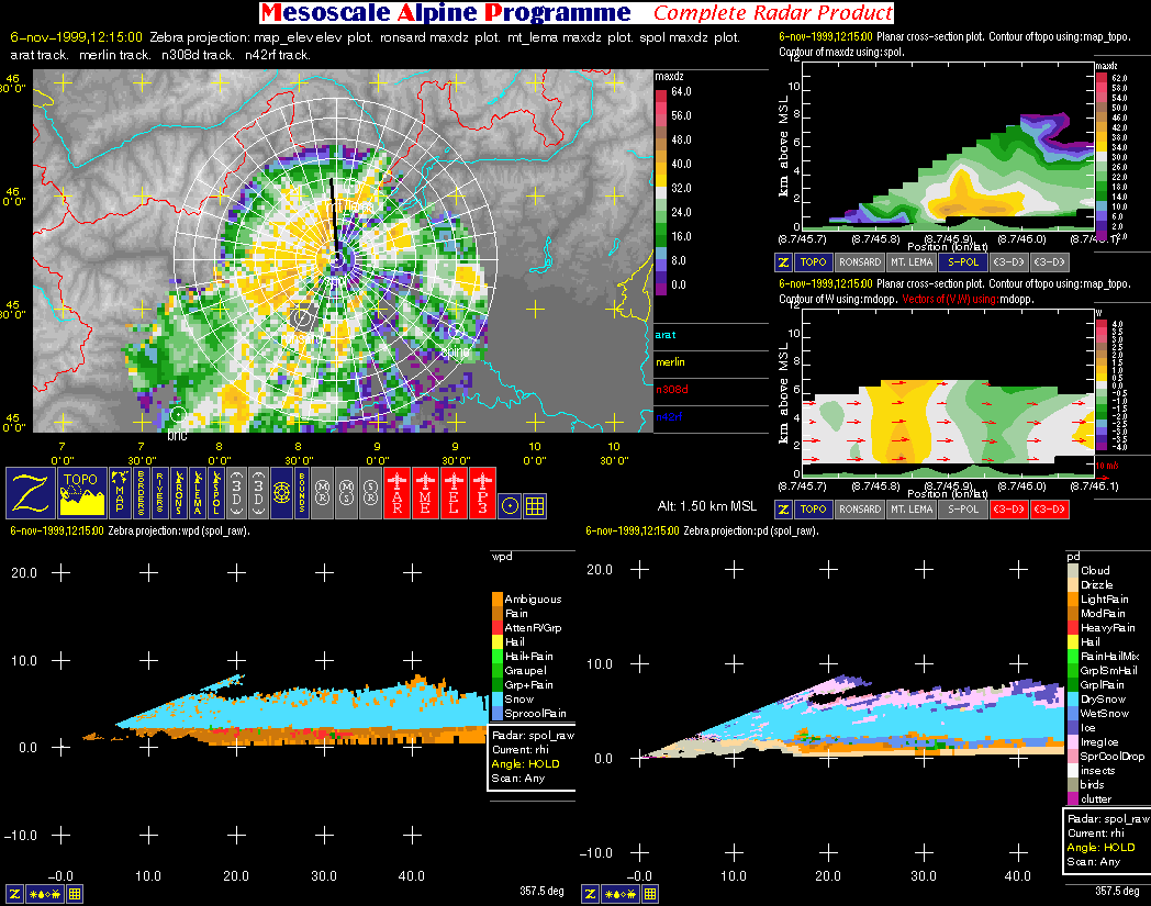
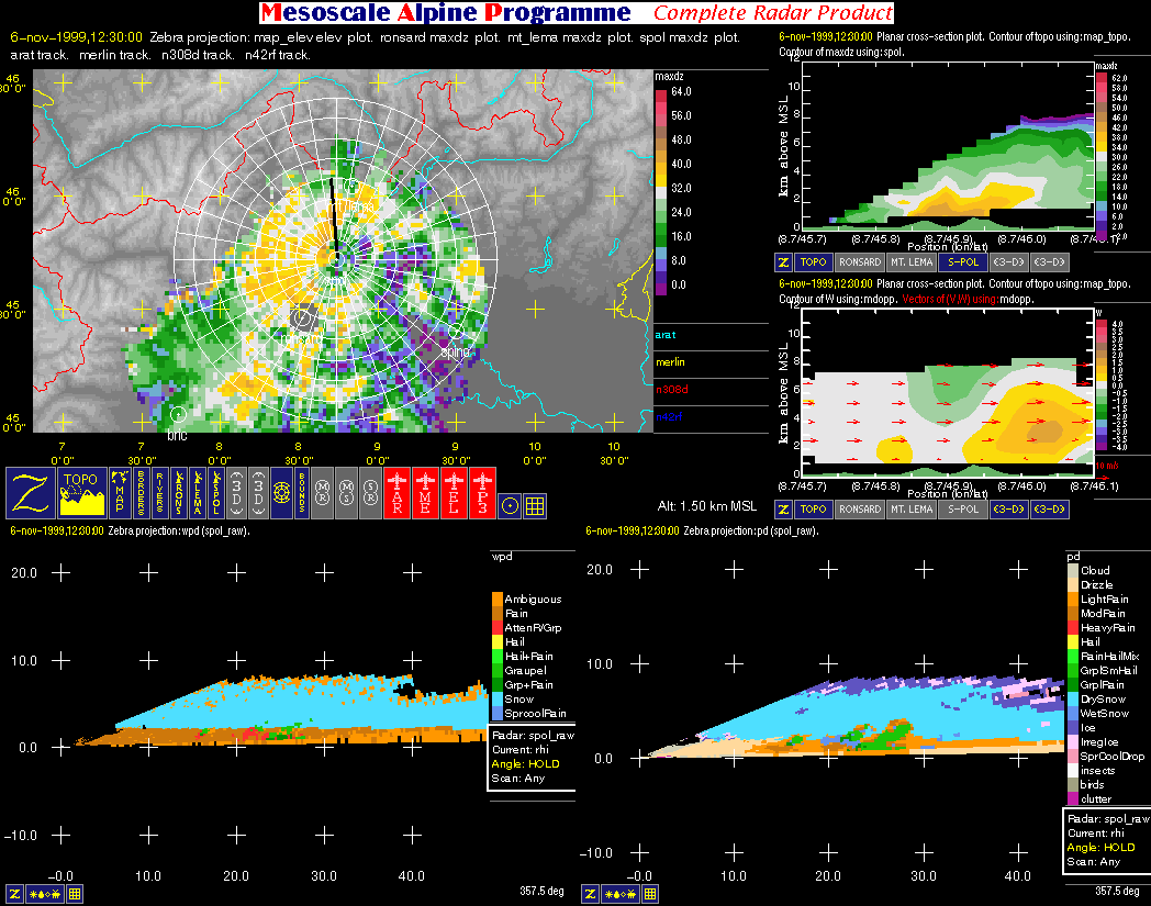
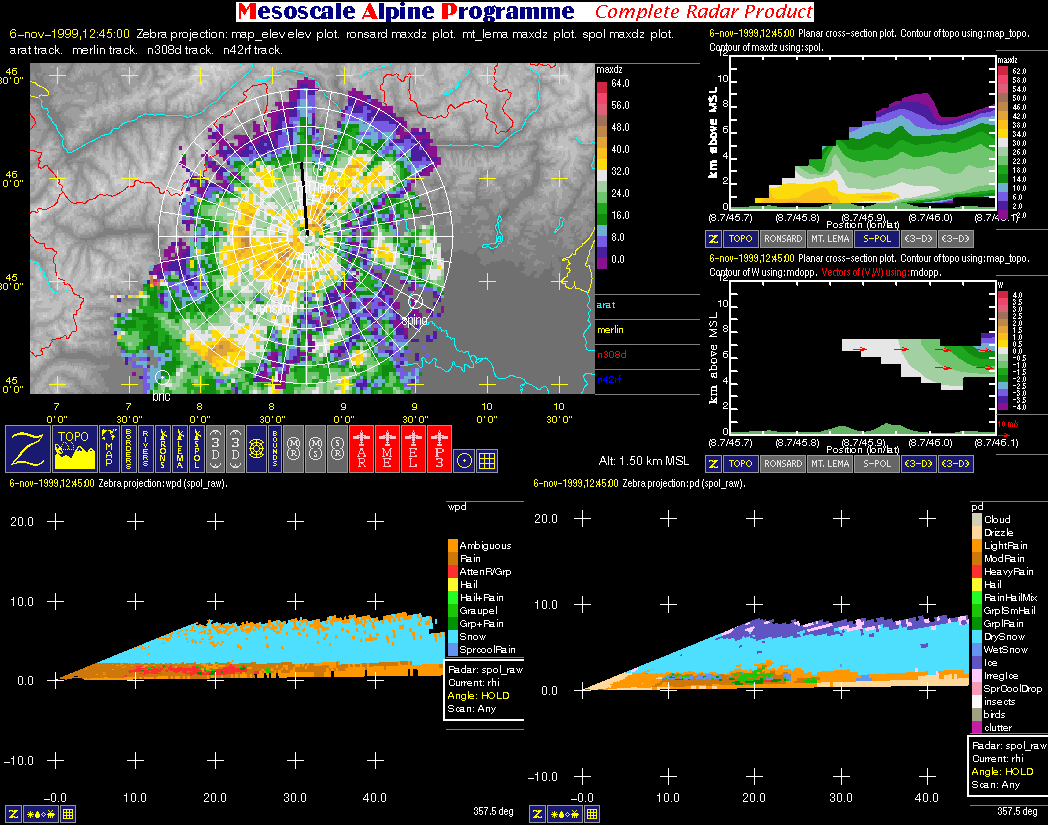
| Regional Composite Images | ||
| Click here for a loop of the radar images shown below | ||
 |
 |
 |
 |
 |
 |
 |
 |
 |
 |
 |
 |
 |
 |
 |
 |
 |
 |
 |
 |
 |
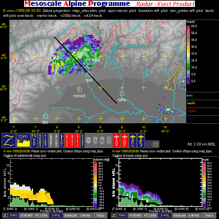
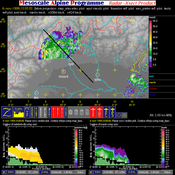
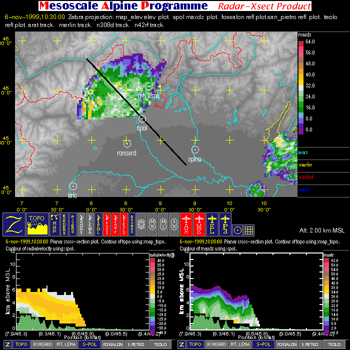
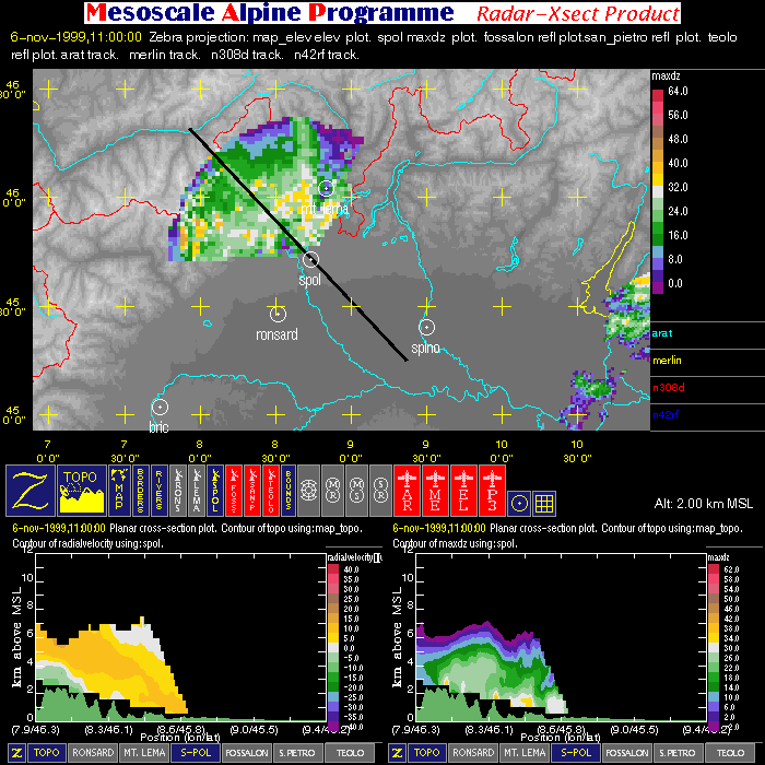
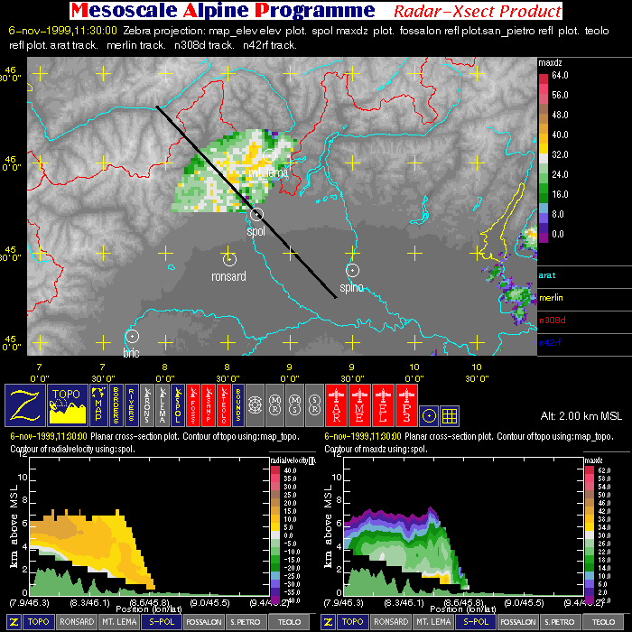
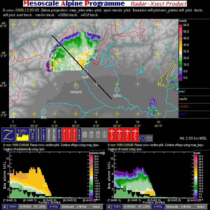
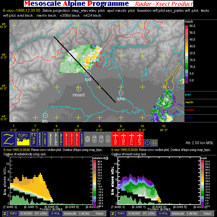
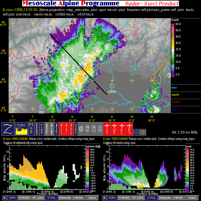
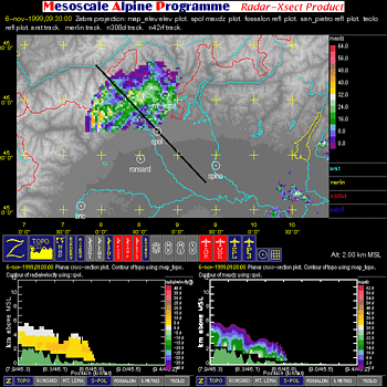
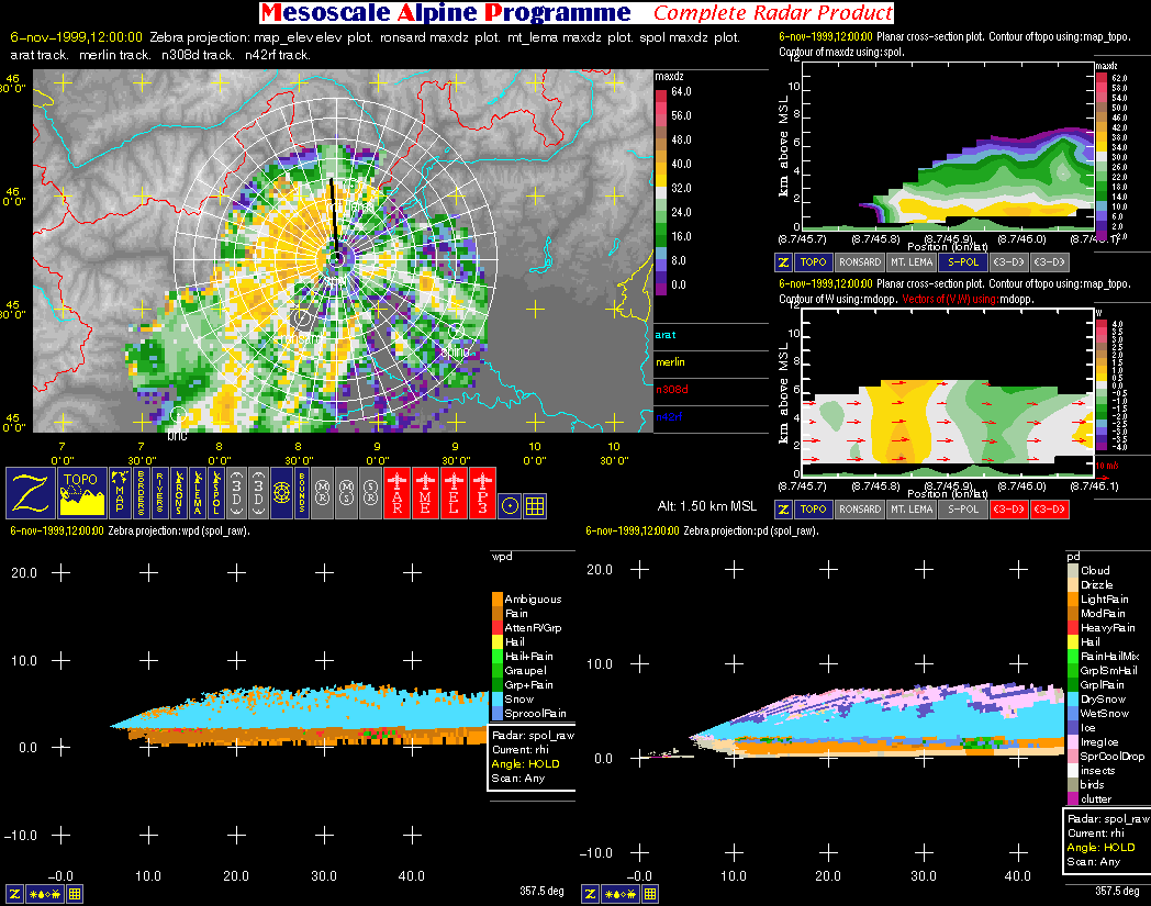
| Radar Cross-Section Images | ||
| Click here for a loop of the radar images shown below | ||
 |
 |
 |
 |
 |
 |
 |
 |
|
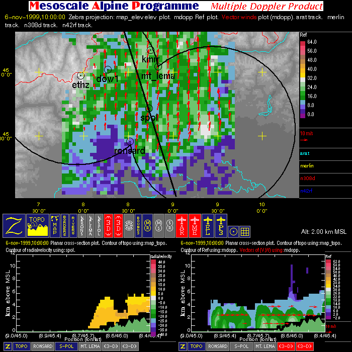
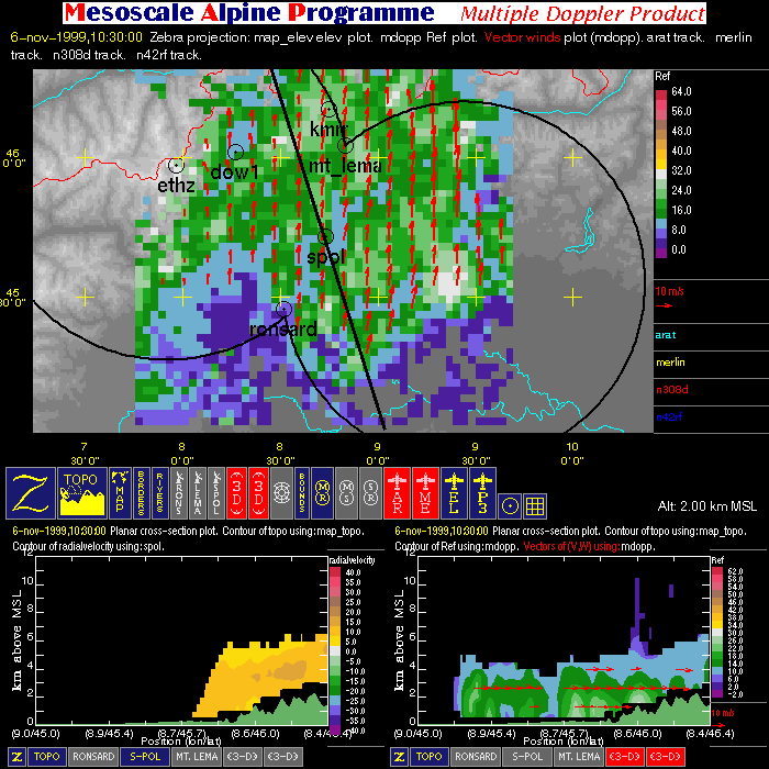
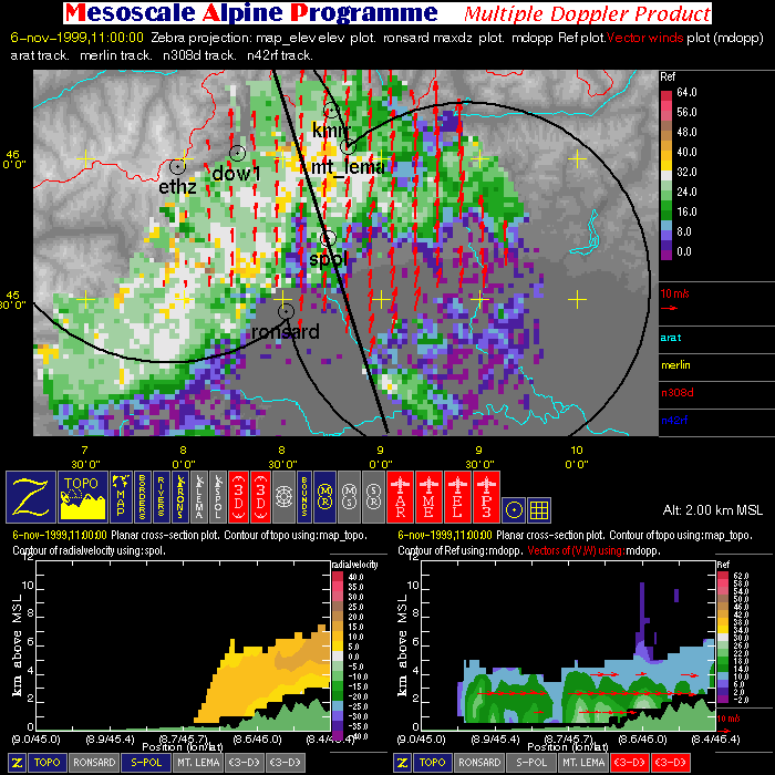
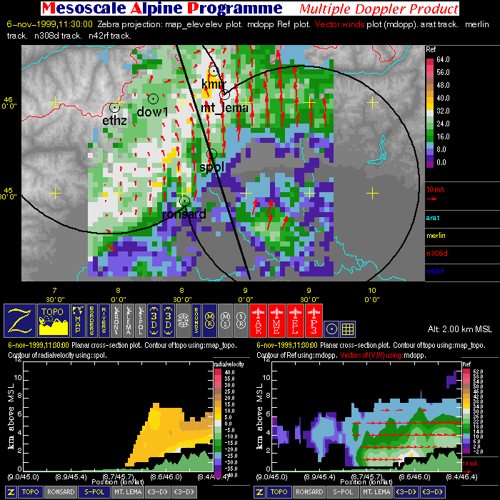
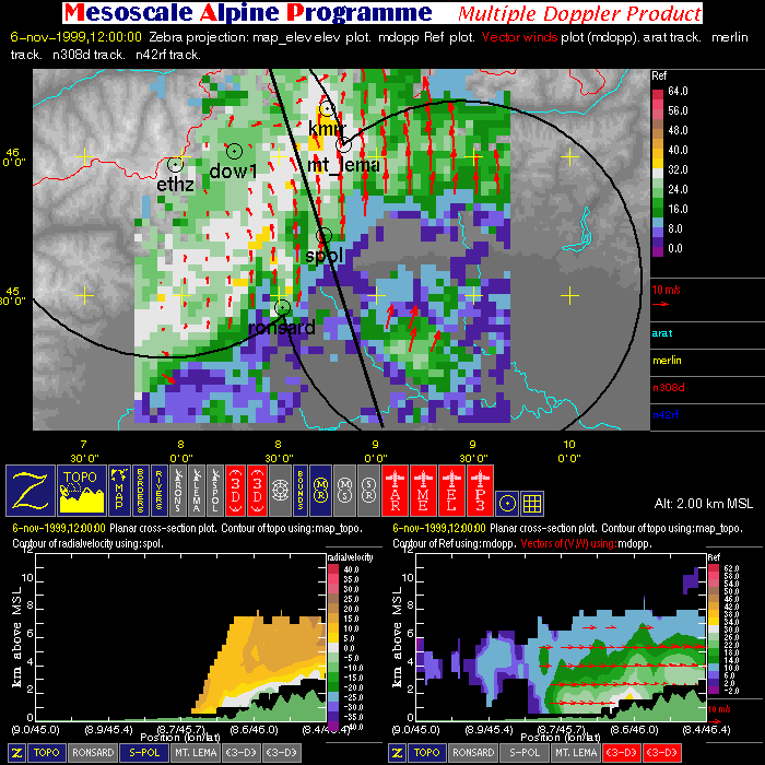
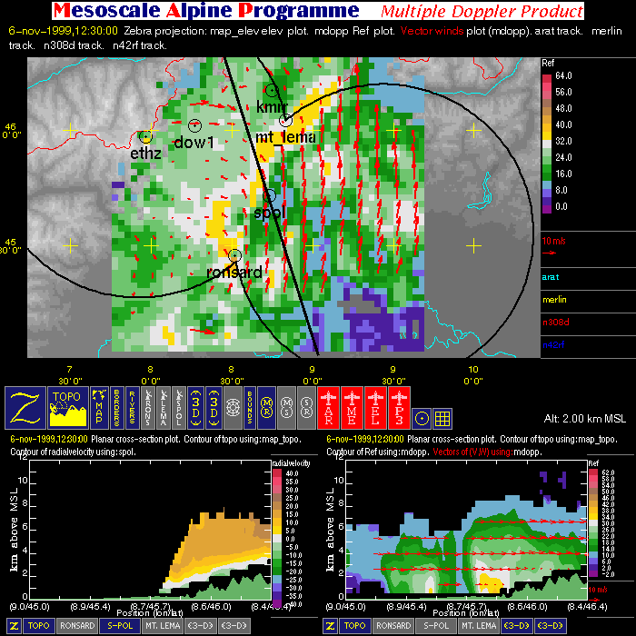
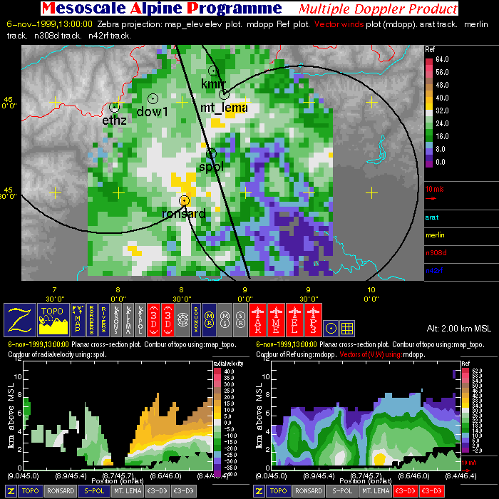
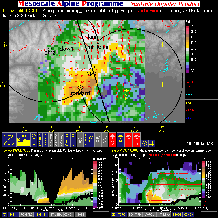
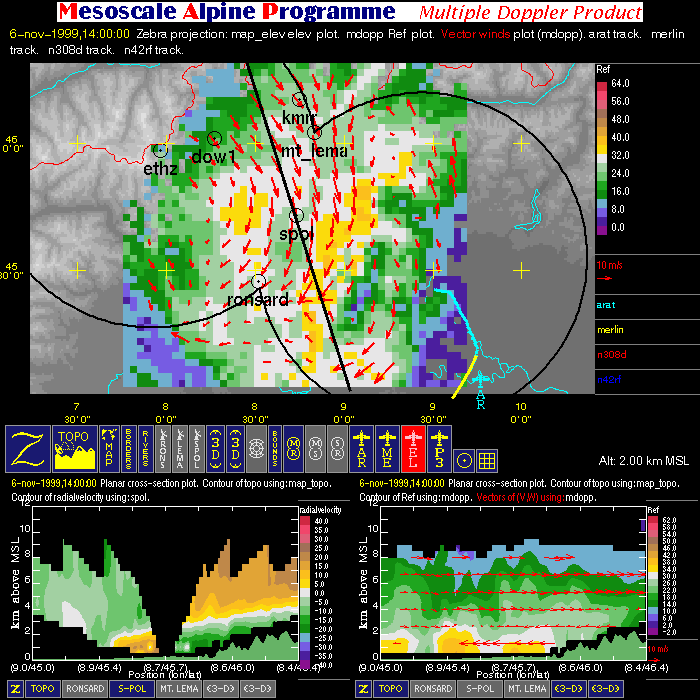
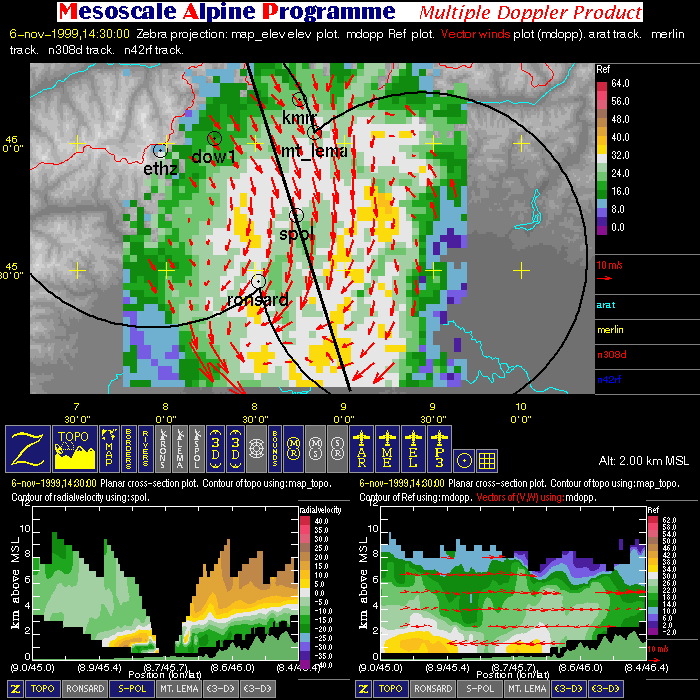
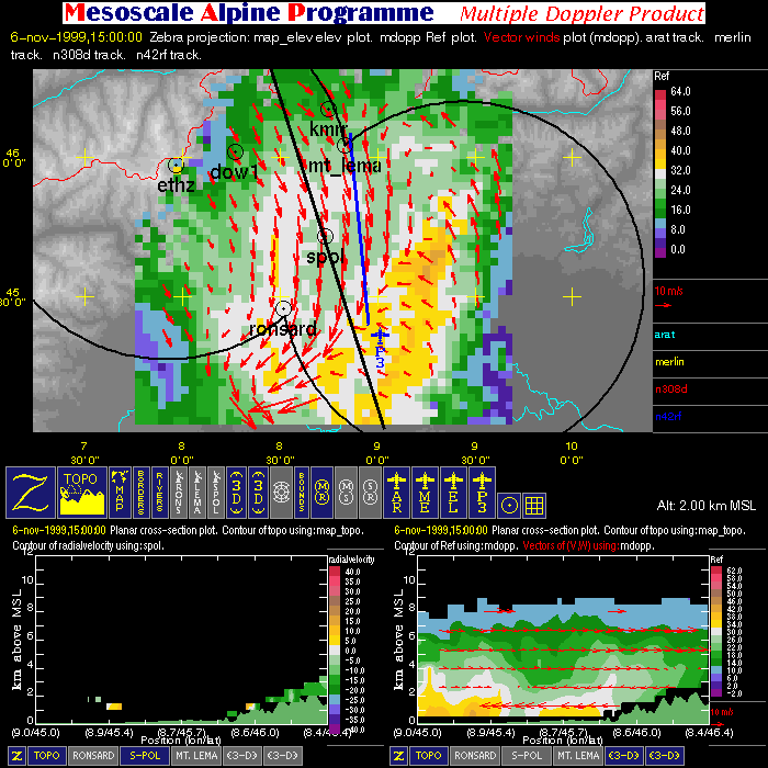
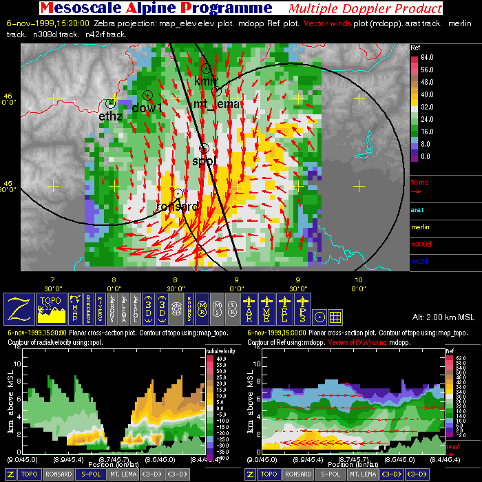
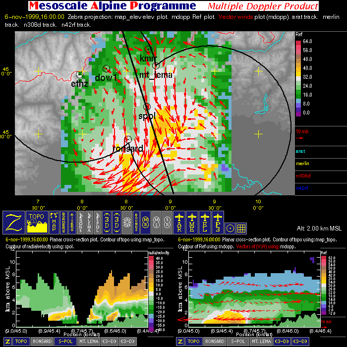
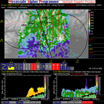
| Multiple Doppler Images | ||
| Click here for a loop of the radar images shown below | ||
 |
 |
 |
 |
 |
 |
 |
 |
 |
 |
 |
 |
 |
||
| Particle-type Images | ||
| Click here for a loop of the radar images shown below | ||
 |
 |
 |
 |
||